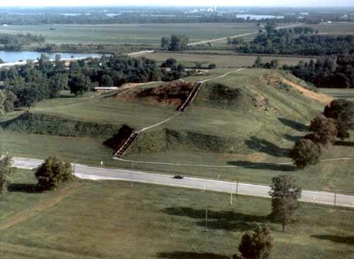
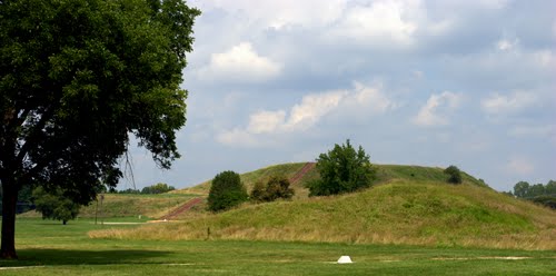
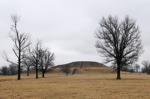
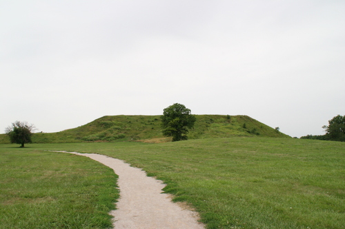
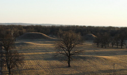
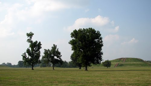
The Cahokia Mounds State Historic Site is located on the site of a pre-Columbian Native American city (c. 600–1400 AD) situated directly across the Mississippi River from modern St. Louis, Missouri. This historic park lies in southern Illinois between East St. Louis and Collinsville. The park covers 2,200 acres (890 ha), or about 3.5 square miles (9 km²), and contains about 80 mounds, but the ancient city was much larger. In its heyday, Cahokia covered about 6 square miles (16 km²) and included about 120 human-made earthen mounds in a wide range of sizes, shapes, and functions.
Cahokia was the largest and the most influential urban settlement in the Mississippian culture which developed advanced societies across much of what is now the central and southeastern United States, beginning more than 1000 years before European contact. Cahokia's population at its peak in the 13th century, an estimated 40,000, would not be surpassed by any city in the United States until the late 18th century. Today, Cahokia Mounds is considered the largest and most complex archaeological site north of the great pre-Columbian cities in Mexico.
Cahokia Mounds is a National Historic Landmark and a designated site for state protection. It is also one of only 23 UNESCO World Heritage Sites within the United States. The largest prehistoric earthen construction in the Americas north of Mexico, the site is open to the public and administered by the Illinois Historic Preservation Agency and supported by the Cahokia Mounds Museum Society.