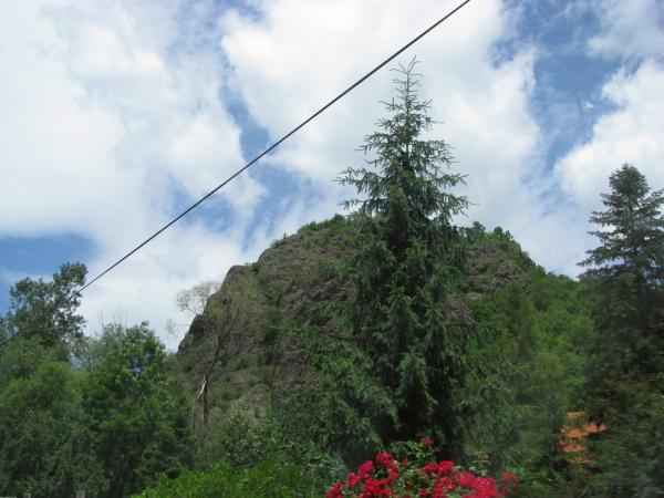
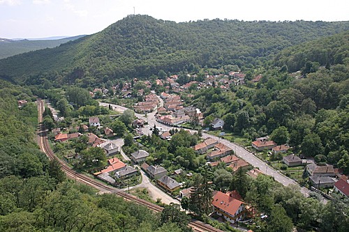
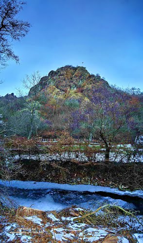
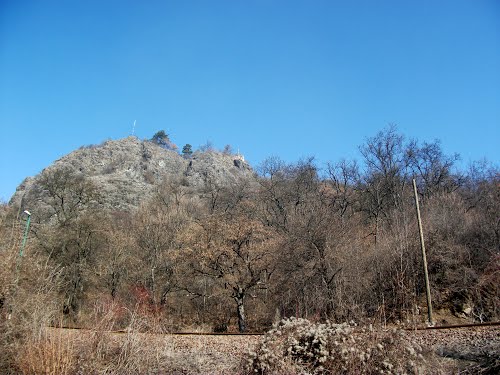
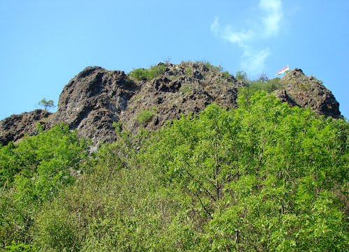
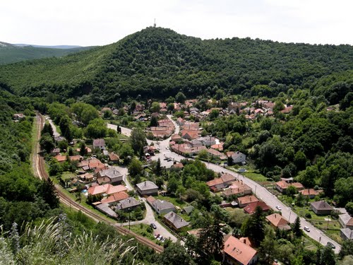
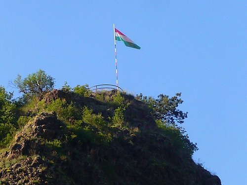
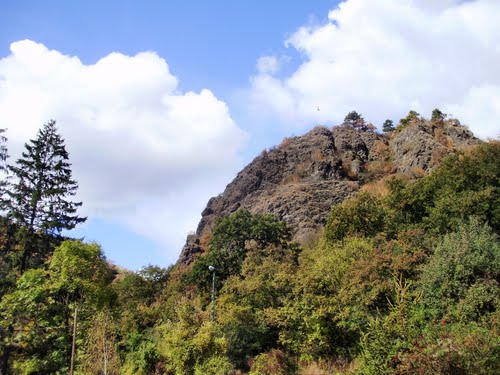
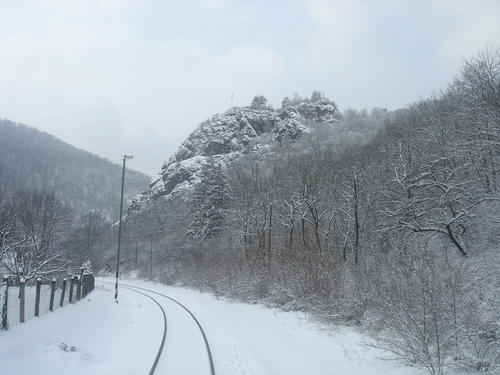
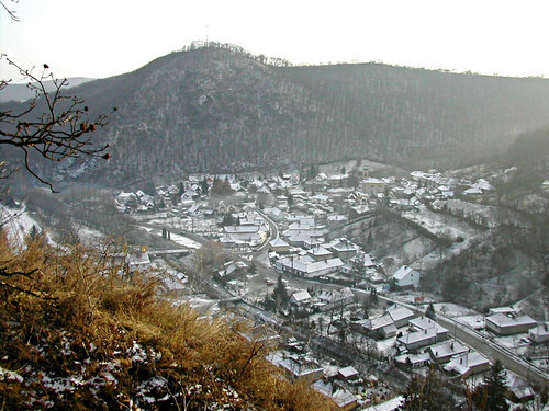
The origin of Szarvasko's name is linked to 'Castle Hill', the outcrop above the village on which the ruins of the fortification can still be seen today.
Built by Bishop Lampert and with a royal charter granted by Bela IV, the castle was constructed between 1261 and 1295 in response to the Tartar invasion. Szarvasko's castle was under the control of Eger Castle’s Captain along with those in Cserepvara and Dedesvara.
From the 12th century it was known under various names: Puspokvar (Bishop’s Castle), Mentsvar (Refuge Castle) and Tarisznyavar (lit. 'Shoulderbag' Castle – reflecting its role guarding the route on which food was brought to supply Eger’s Castle).
The surrounding villages Bator, Bakta, Bocs, Demend, Fedemes, Kerecsend and, of course, Szarvasko-alja all came under the jurisdiction of the Castle.
As well as providing food for the soldiers, villagers also paid tax to their overlord (whoever controlled the castle at the time), the Castle’s dungeon ensured the villeins toed the line and if they didn’t? The name of the hill next to the castle is Alaszfo Domb lit. 'Gallows Hill'.
By the 14th Century, Szarvasko Castle had lost its role as a bulwark against further Tartar incursions and instead became a border post, as well as a hunting lodge for the bishop and his guests. From the 1420s it was also used in the Church’s fight against the growing influence of the Hussites.
By the time of the famous 1552 defence of Eger Castle, Szarvasko had been largely deserted by its inhabitants but the castle remained in Hungarian hands, at least until the return of the Ottomans in 1596.
With the expulsion of the Ottomans in the late 17th Century, Bishop Telekessy repopulated the surrounding villages including Szarvasko.
Unfortunately the castle, which up until this point had remained largely intact, was allowed to fall into disrepair. The walls were pulled down and used in the construction of houses in the local villages.
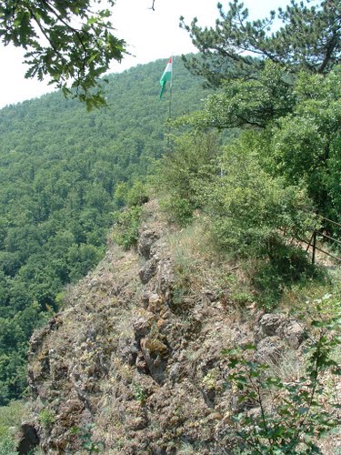
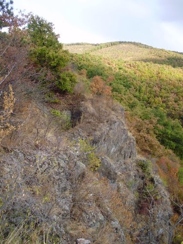
All that remains of the castle today are drawings and paintings but recent excavations have uncovered the floor plan, alas there are no plans to explore the site further.
Visitors to the castle today can still see remnants of the castle’s well but beyond that a lot of imagination is required. The view from the site, however, is fantastic and well worth the short walk.