Gyeongju, historically known as "Seorabeol", is a coastal city in the far southeastern corner of North Gyeongsang Province in South Korea. It is the second largest city by area in the province after Andong, covering 1,324 km². Gyeongju is 370 km southeast of Seoul, and 55 km east of the provincial capital, Daegu. The city borders Cheongdo and Yeongcheon to the west, Ulsan to the south and Pohang to the north, while to the east lies the coast of the Sea of Japan. Numerous low mountains—outliers of the Taebaek range—are scattered around the city.
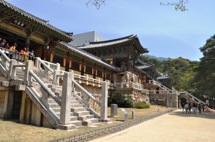
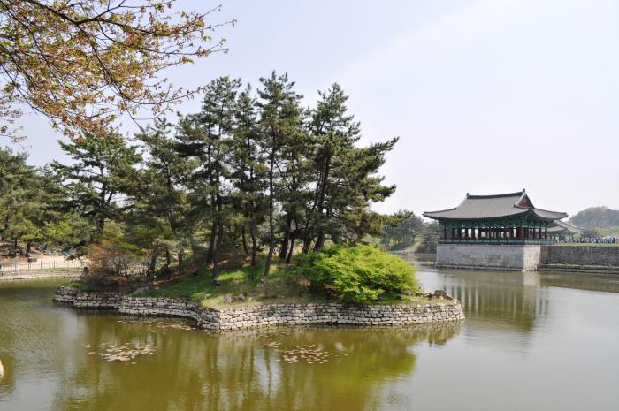
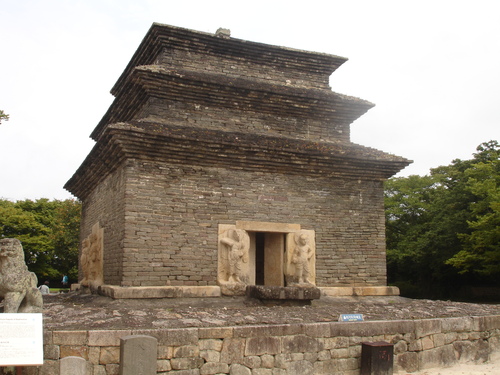
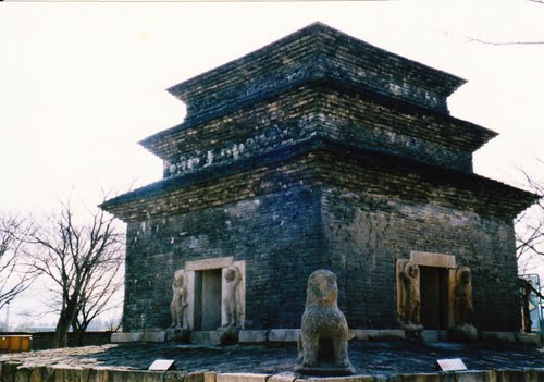
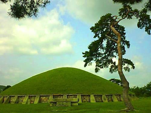
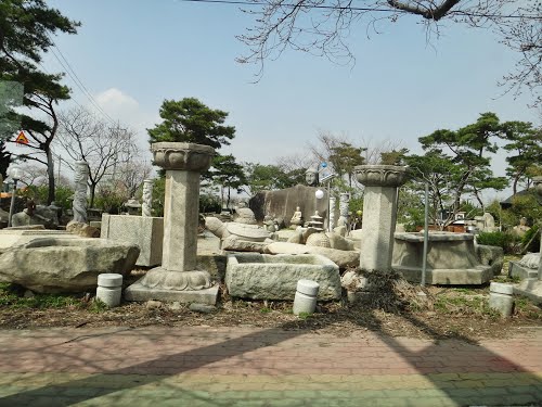
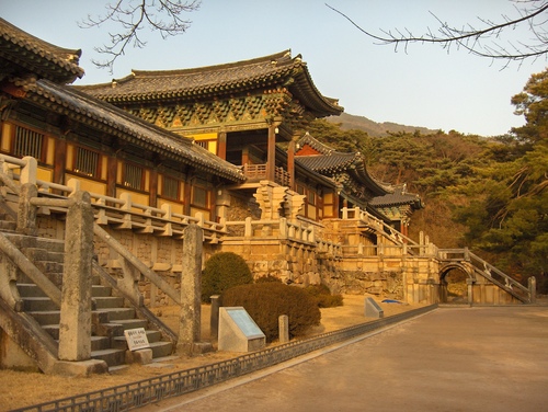
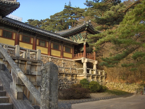
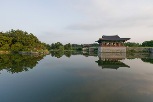
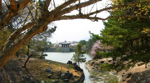
Gyeongju was the capital of the ancient kingdom of Silla (57 BC – 935 AD) which ruled about two-thirds of the Korean Peninsula between the 7th and 9th centuries. A vast number of archaeological sites and cultural properties from this period remain in the city. Gyeongju is often referred to as "the museum without walls". Among such historical treasures, Seokguram grotto, Bulguksa temple, Gyeongju Historic Areas and Yangdong Folk Village are designated as World Heritage Sites by UNESCO. The many major historical sites have helped Gyeongju become one of the most popular tourist destinations in South Korea.
The city of Gyeongju was united with the nearby rural Gyeongju County in 1995 and is now an urban–rural complex. It is similar to 53 other small- and medium-sized cities with a population under 300,000 people in South Korea. As well as its rich historical heritage, Gyeongju today is affected by the economic, demographic, and social trends that have shaped modern South Korean culture. Tourism remains the major economic driver, but manufacturing activities have developed due to its proximity to major industrial centers such as Ulsan and Pohang. Gyeongju is connected to the nationwide rail and highway networks, which facilitate industrial and tourist traffic.
History
The early history of Gyeongju is closely tied to that of the Silla kingdom, of which it was the capital. While being capital of Silla, Gyeongju was called Seorabeol. Gyeongju first enters non-Korean records as Saro-guk, during the Samhan period in the early Common Era. Korean records, probably based on the dynastic chronicles of Silla, record that Saro-guk was established in 57 BCE, when six small villages in the Gyeongju area united under Bak Hyeokgeose. As the kingdom expanded, it changed its name to Silla. During the Silla period, the city was called "Seorabeol".
After the unification of the peninsula up to Taedong River in 668 AD, Gyeongju became the center of Korean political and cultural life. The city was home to the Silla court and the great majority of the kingdom's elite. Its prosperity became legendary, and was reported as far away as Persia according to the 9th century book, The Book of Roads and Kingdoms. Records of Samguk Yusa give the city's population in its peak period as 178,936 households, suggesting that the total population was almost one million. Many of Gyeongju's most famous sites date from this Unified Silla period, which ended in the late 9th century by Goryeo (918–1392).
In 940, the founder of Goryeo, King Taejo, changed the city's name to "Gyeongju", which literally means "Congratulatory district". In 987, as Goryeo adopted a system of having three additional capitals in politically important provinces outside Gaegyeong (nowadays Kaesong), Gyeongju was designated as "Donggyeong" ("East Capital"). However, that title was removed in 1012, the 3rd year of King Hyeongjong, due to political rivalries at that time, though Gyeongju was later made the seat of Yeongnam Province. It had jurisdiction over a wide area, including much of east-central Yeongnam, although this area was greatly reduced in the 13th century. Under the subsequent Joseon (1392–1910) dynasties, Gyeongju was no longer of national importance, but remained a regional center. In 1601, the city ceased to be the provincial capital.
Over these centuries, the city's relics suffered numerous assaults. In the 13th century, Mongol forces destroyed a nine-story wooden pagoda at Hwangnyongsa. During the Japanese invasions of Korea, the Gyeongju area became a heated battlefield, and Japanese forces burned the wooden structures at Bulguksa. Not all damage was due to invasions, however. In the early Joseon period, a great deal of damage was done to Buddhist sculptures on Namsan by Neo-Confucian radicals, who hacked arms and heads off statuary.
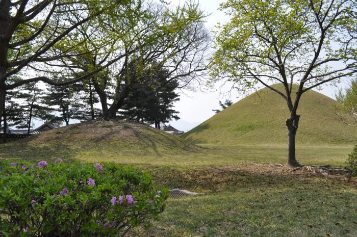
In the 20th century, the city had remained relatively small, no longer ranking among the major cities of Korea. During the early 20th century, many archaeological excavations were conducted, particularly inside the tombs which had remained largely intact over the centuries. A museum, the forerunner of the present-day Gyeongju National Museum, was inaugurated in 1915 to exhibit the excavated artifacts.
Gyeongju emerged as a railroad junction in the later years of the Japanese Occupation, as the Donghae Nambu Line and Jungang Line were established to prepare for Second Sino-Japanese War and to exploit rich resources of the eastern Korean peninsula. Following liberation in 1945, Korea was plunged into turmoil, and Gyeongju was no exception. Returnees from abroad were numerous; a village for them was constructed in present-day Dongcheon-dong. In a period marked by widespread conflict and unrest, the Gyeongju area became particularly notorious for the level of guerrilla activity in the mountains.
Although the Korean War broke out in 1950, most of Gyeongju was spared from the fighting, and remained under South Korean control throughout the conflict. However, for a brief time in late 1950 portions of the city stood on the front lines, as North Korean forces pushed the Pusan Perimeter southward from Pohang.
In the 1970s, Korea saw substantial industrial development, much of it centered in the Yeongnam region of which Gyeongju is a part. The POSCO steel mill in neighboring Pohang commenced operations in 1973, and the chemical manufacturing complex in Ulsan emerged in the same year. These developments helped to support the emergence of Gyeongju's manufacturing sector.