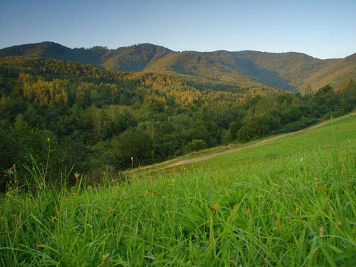
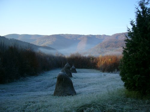
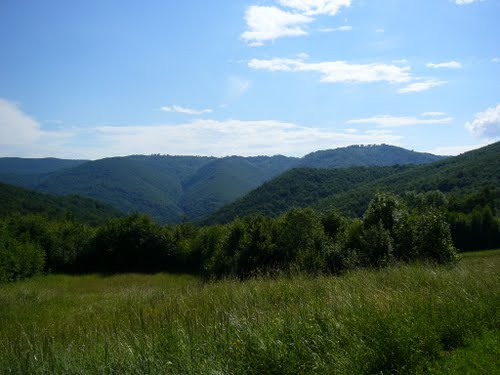
Poloniny National Park is a national park in northeastern Slovakia at the Polish and Ukrainian borders, in the Bukovské vrchy mountain range, which belongs to the Eastern Carpathians. It was created on 1 October 1997 with a protected area of 298.05 km² and a buffer zone of 109.73 km². Selected areas of the park are included into Primeval Beech Forests of the Carpathians UNESCO World Heritage Site.
Location
The park is located in the Snina District in the Prešov Region. It is adjacent to the Bieszczady National Park in Poland, together they are part of the East Carpathian Biosphere Reserve. The highest point lies at 1,208 m (3,963 ft) AMSL on a point where the borders of Slovakia, Poland and Ukraine meet, near the summit of the mount Kremenec. National Park is the easternmost and the least populated area of the country. Hiking trails starts from several villages, most notably Nová Sedlica but also from Runina, Topoľa and Uličské Krivé.
Tourism
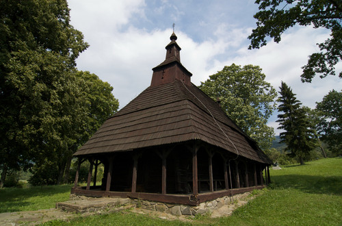
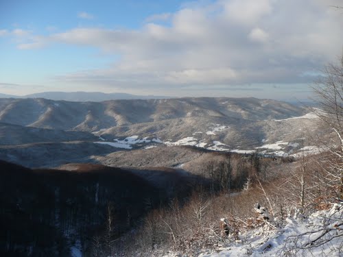
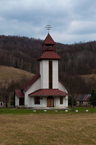
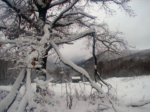
National Park is open to the public all year with winter (cross-country skiing) as well as summer hiking trails. Besides several mountain trails there is also one connecting outstanding wooden churches from the 18th century in Topoľa, Uličské Krivé, and Ruský Potok.